 |
|
Cat: HIS |
Kanzo Kobayashi |
05z11u/18206r |
Title |
Vietnam ancient town 'Hoi An' thrives today |
現在も生き続ける歴史町ベトナム・ホイアン |
|---|---|---|
| Time slip to 16th century of Vietnam | 16世紀ベトナムへのタイムスリップ | |
Ref. |
Guide book by Showa Women's Univ.(2000) | 昭和女子大編纂ガイドブック(2000) |
Index |
|
|
Why? |
|
|
Summary |
要約 |
>Top
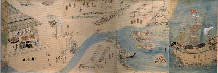
0. Drawings of Hoi An:
|
|
>Top
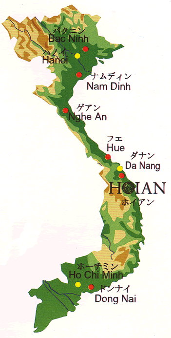
1. Location map of 'Hoi An':
|
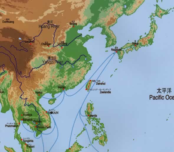
1.Route of Shuin-sen:
|
>Top
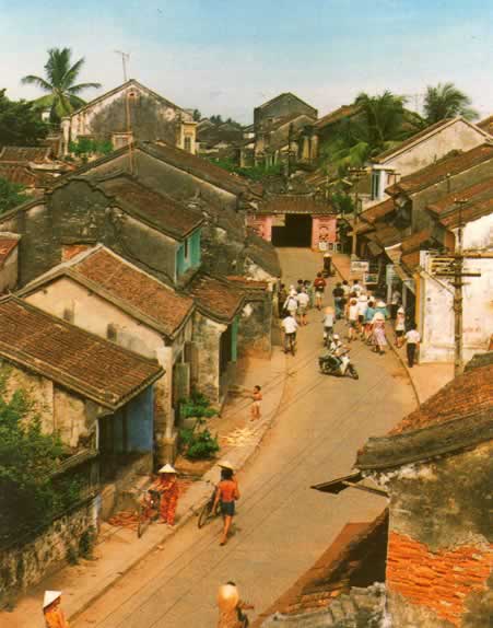
2. Bird-eye view of present Hoi An:
|
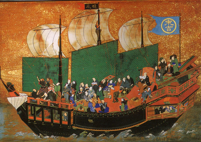
2.Shuin-sen (authorized trade ship):
|
>Top
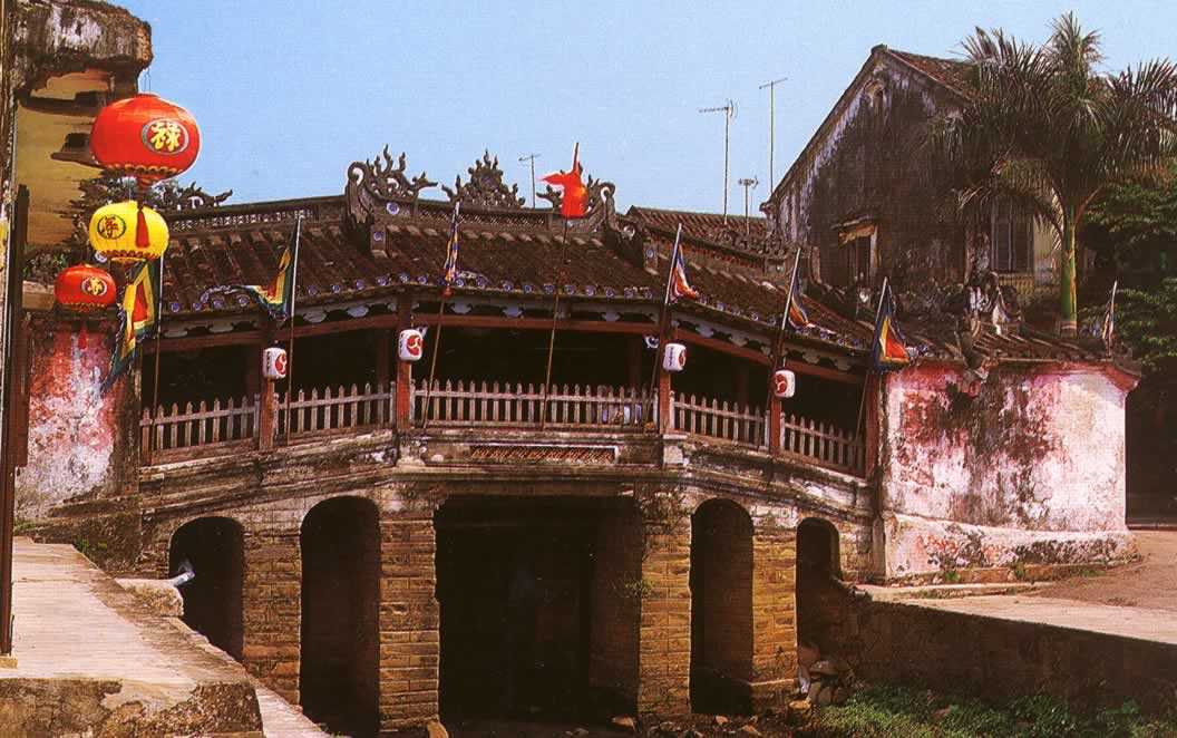
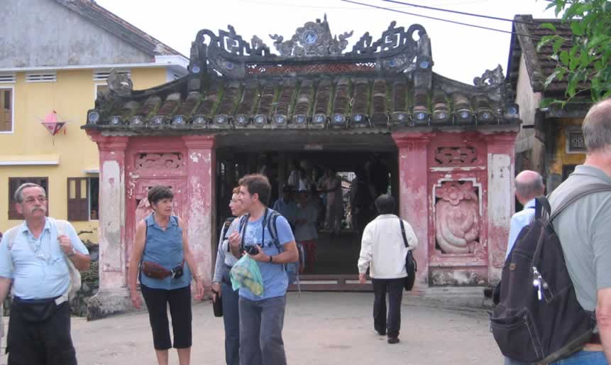
3. 'Nihonbashi' at Hoi An:
|
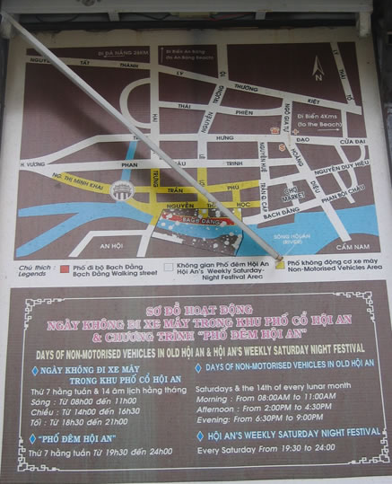
3.Tourist Map of Hoi An:
|
>Top
4. from the center of Nihonbashi:
|
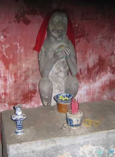
4. Guardian Monkey
|
>Top
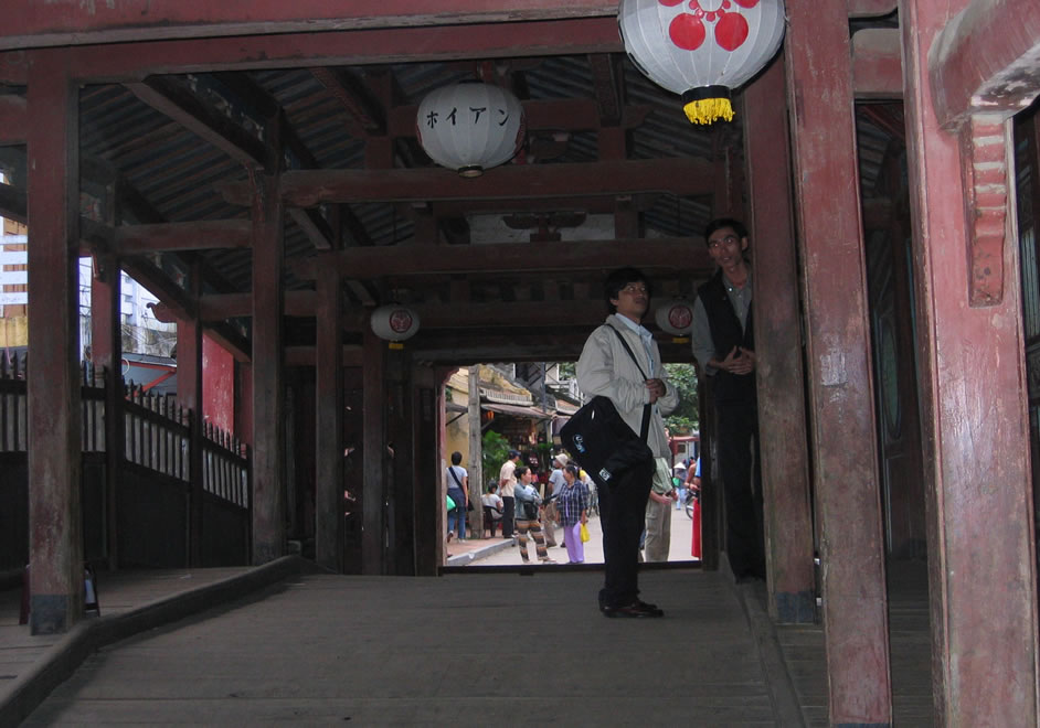
5. Foreign tourists near the bridge:
|
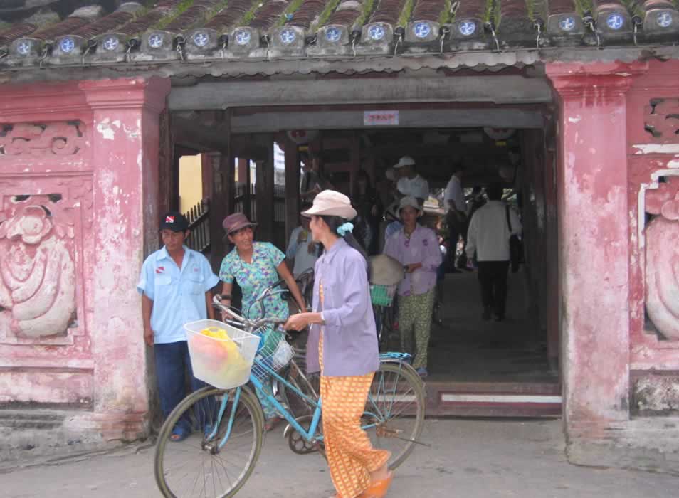
5.Wheeling away bicycle on the bridge:
|
>Top
6. Crests of Toyotomi and Tokugawa:
|
|
>Top
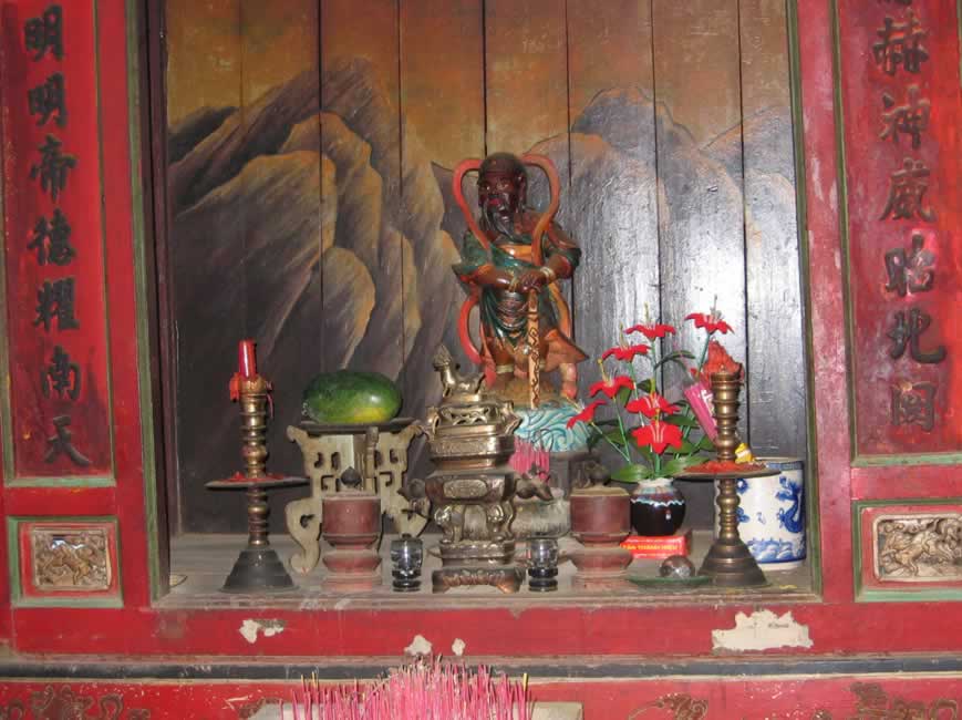
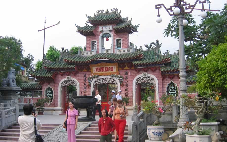
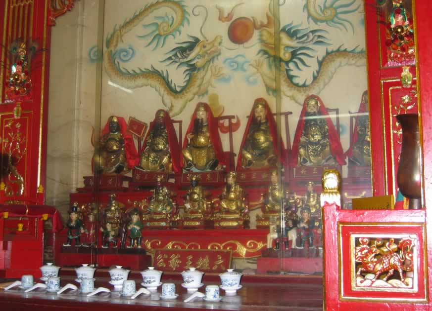
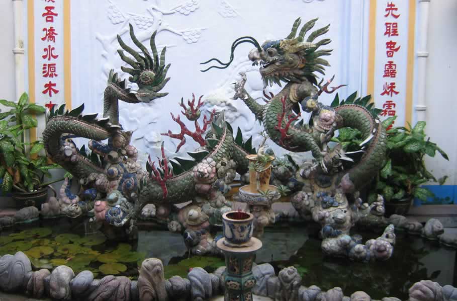
7. Chinese temple:
|
7.Worship of Chinese ancestors:
|
>Top
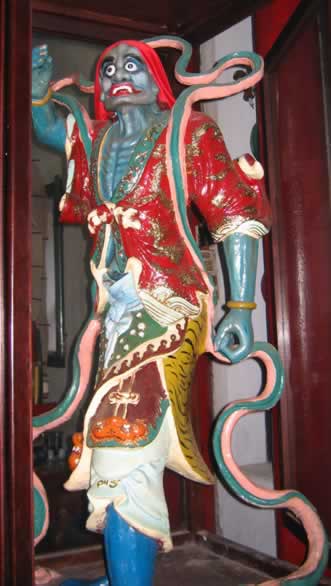
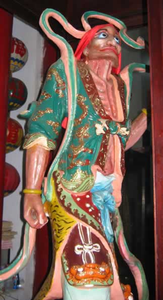
8. Guardians of Chinese temple:
|
8. Guardians of Chinese temple:
|
>Top
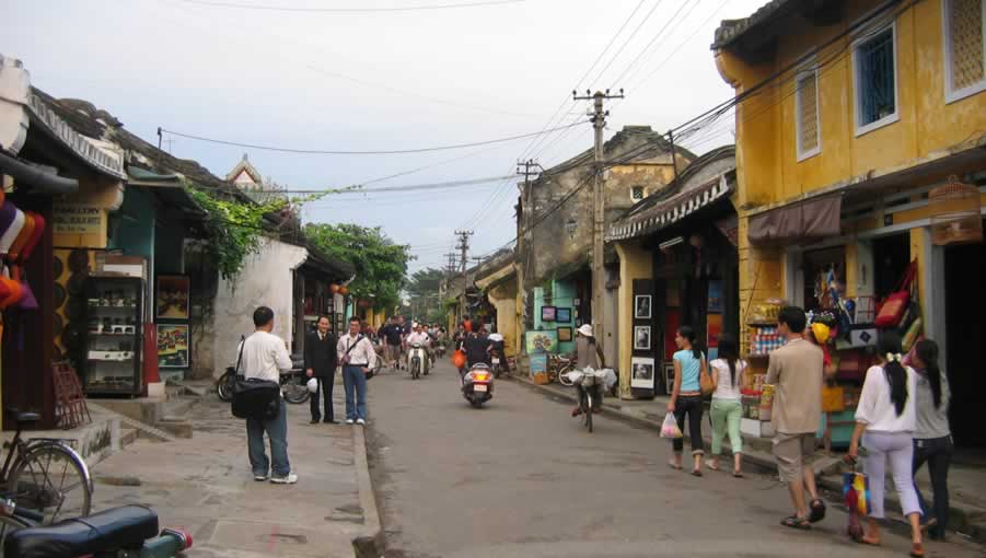
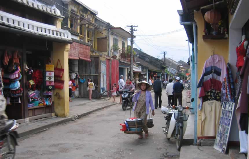
9. Landscape of Hoi An street:
|
|
>Top
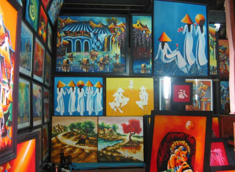
10. Souvenir shop at Hoi An:
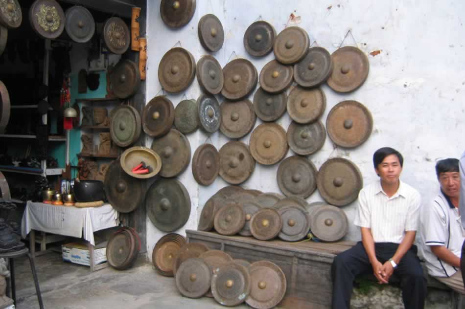
|
10.Vietnamese paintings at a souvenir shop:
|
>Top
11. Statistics about Vietnam:Source: 'Heritage' Nov-Dec. 2005 of Vietnam Airlines:
|
11.ベトナムの統計資料:
|
Comment |
|
|